Water, Impact, and Sustainability Estimator (WISE)
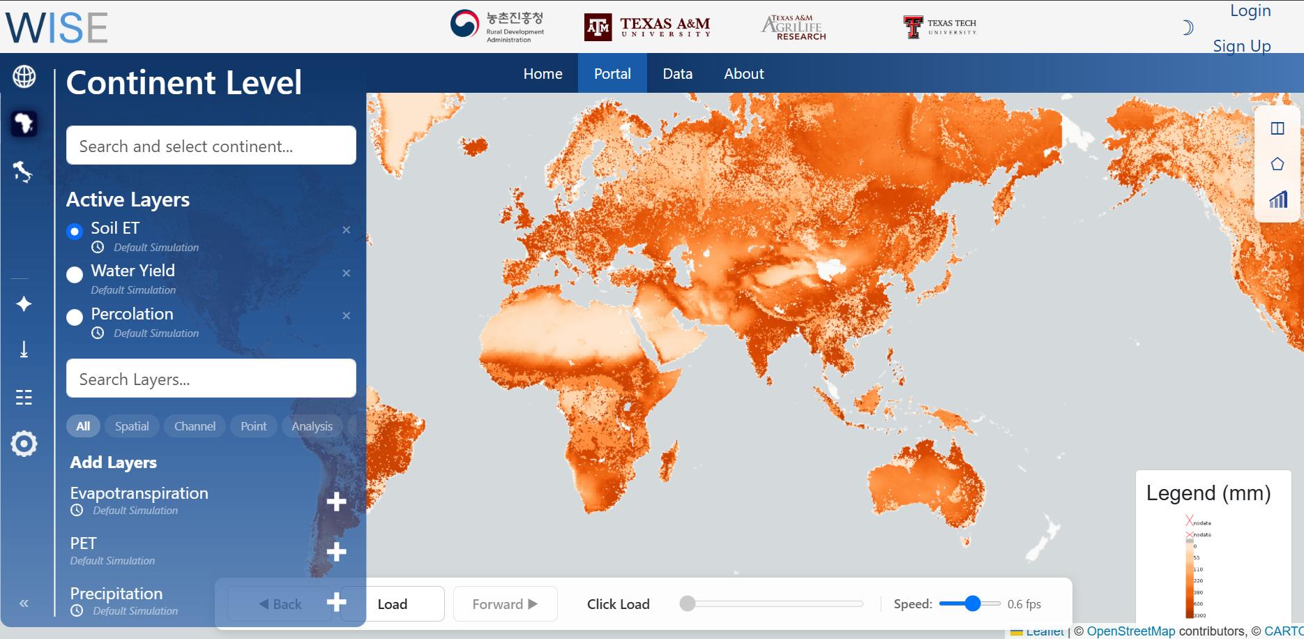
WISE (Water Information System for the Environment) is an open-source web platform for visualising, analysing, and sharing global hydrological data. It is built for researchers, policymakers, and other people who need interactive maps and tools rather than raw model files alone.
The portal brings high-resolution geospatial layers into the browser with modern web mapping: static and time-varying variables such as precipitation, evapotranspiration, surface runoff, snowmelt, and soil moisture, at global, continental, and country scales. You can play time series, compare two maps side by side, chart a point or a drawn zone, and request reports or downloads for offline work.
WISE is developed jointly by Texas A&M University, Texas A&M AgriLife Research, Texas Tech University, and the Rural Development Administration (RDA) of the Republic of Korea. The aim is to make large-scale water-resource information accessible for agriculture, water management, and climate adaptation.
Source code and data releases use the MIT License.